Belfast Interfaces - Cluster Map

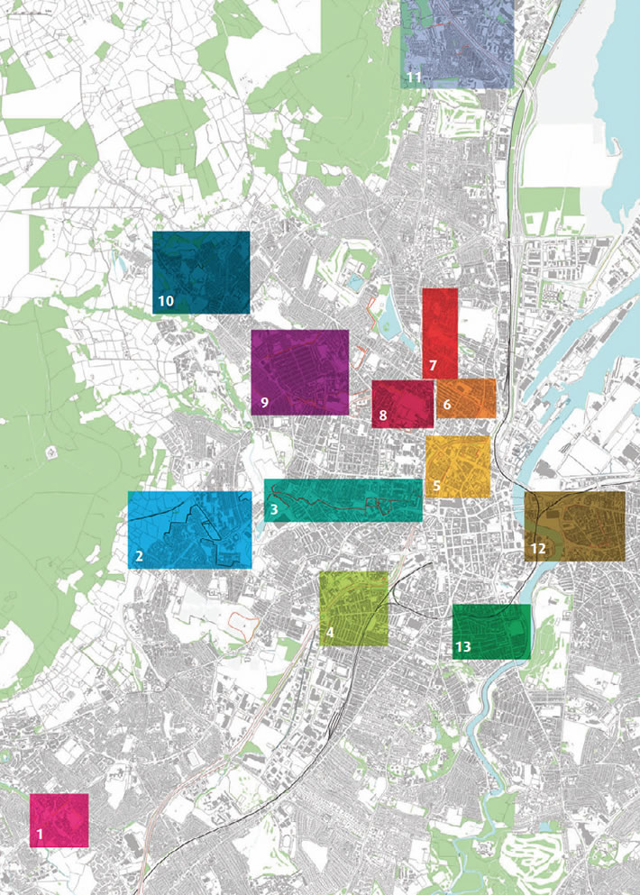
The interactive database of Belfast interfaces, including descriptions, photographs and Google StreetView of all security barriers and defensive uses of space throughout the city, is organised geographically by cluster.

Click on the numbered areas below to view the interactive maps of each cluster.

Belfast Interfaces - Cluster MapCluster 1 - Suffolk - Lenadoon Cluster 2 - Upper Springfield Road Cluster 3 - Falls-Shankill Cluster 4 - The Village-Westlink Cluster 5 - Inner Ring Cluster 6 - Duncairn Gardens Cluster 7 - Limestone Road-Alexandra Park Cluster 8 - Lower Oldpark-Manor Street Cluster 9 - Crumlin Road-Ardoyne-Glenbryn Cluster 10 - Ligoniel Cluster 11 - Whitewell Road-Longlands Cluster 12 - Short Strand-Inner East Cluster 13 - Ormeau Road and the Markets

Belfast City Council   Community Relations Council European Union Peace 3
Lloyds TSB Foundation NI   A project supported by PEACE III Programme
managed for the Special EU Programmes Body
by the Community Relations Council/Pobal Consortium